Southeast Texas residents should brace for a sharp weather shift, as the weekend’s intense heat gives way to a multi-day rain and flooding threat starting Sunday night.
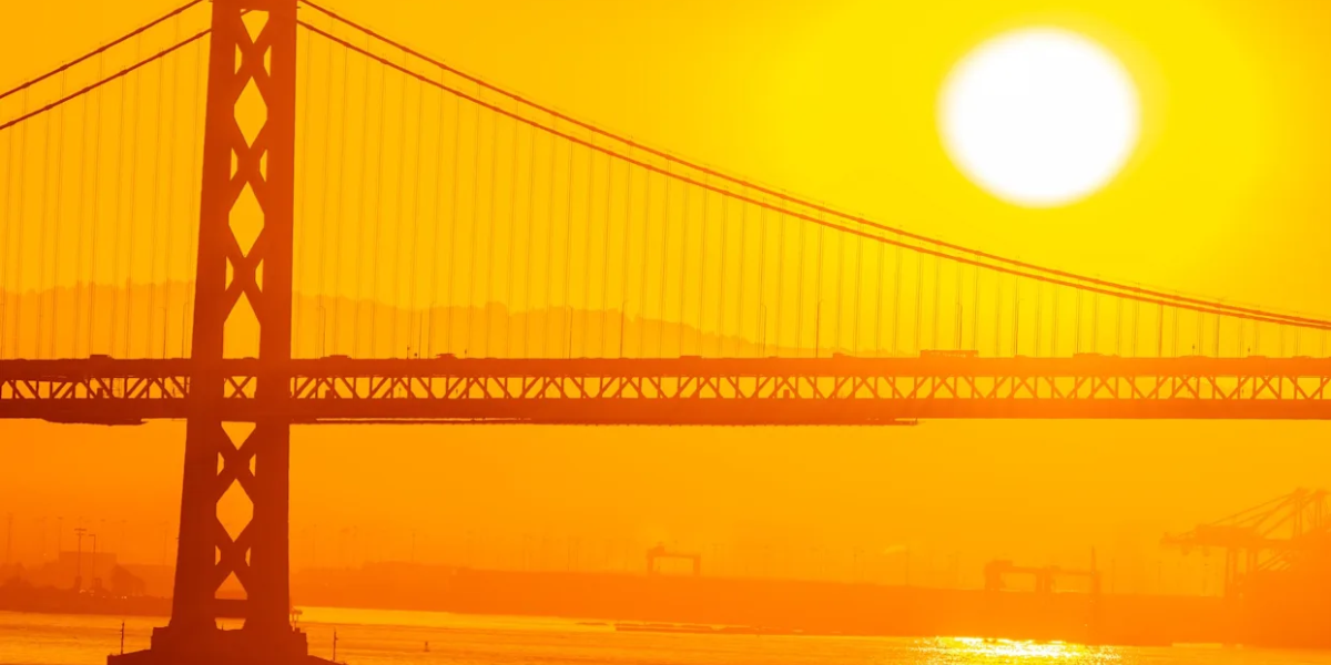
Saturday remains mostly dry and dangerously hot, with highs near 92 degrees and heat index values soaring between 97 and 107. The combination of heat and humidity will make outdoor activity feel oppressive, and forecasters continue to warn of a high risk of rip currents along Gulf-facing beaches, urging swimmers to stay close to lifeguards and avoid jetties and piers.
The pattern begins changing Sunday, as a cold front moves toward the region and interacts with deep tropical moisture. Rain chances will climb through the afternoon, with a 60 percent probability of showers and thunderstorms by evening. The Weather Prediction Center has now placed areas north of Interstate 10, including the Houston metro, under a Slight Risk — level 2 of 4 — for excessive rainfall on Sunday.
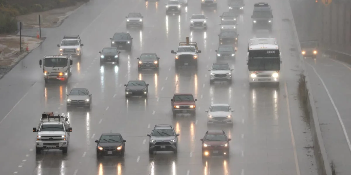
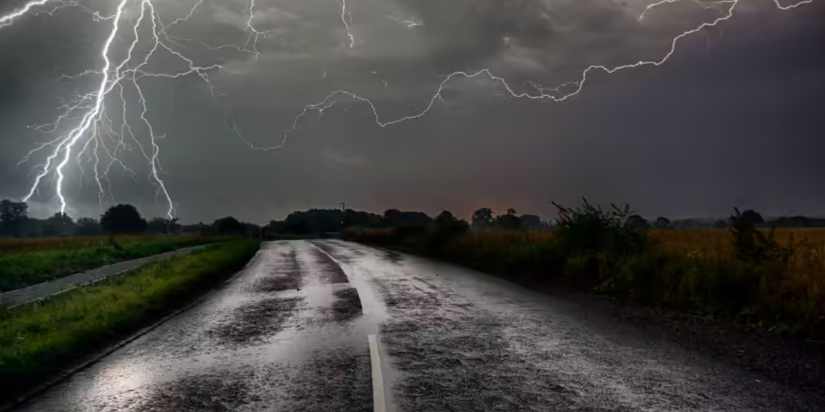
The bigger concern arrives Sunday night through Tuesday, when the approaching front is expected to slow down or stall directly over Southeast Texas. This stalling pattern could allow repeated rounds of heavy showers and storms to train over the same communities, raising the risk of localized flash flooding, particularly in low-lying neighborhoods and areas with poor drainage.
Rainfall totals across the region are generally expected to range from 1 to 3 inches, but isolated pockets could see as much as 5 inches if storms repeatedly track over the same spots. Monday is forecast to bring the highest rain chances at 90 percent, followed by 80 percent on Tuesday before conditions gradually dry out midweek.
Meanwhile, the National Hurricane Center is tracking a disturbance near the Bay of Campeche, though development odds remain low. Most associated moisture is expected to move into the Rio Grande Valley and parts of eastern Mexico, but Texas could tap into some of that moisture through the week.
Residents are encouraged to monitor forecasts closely, avoid flooded roadways, and prepare for potential travel disruptions as the unsettled pattern unfolds.