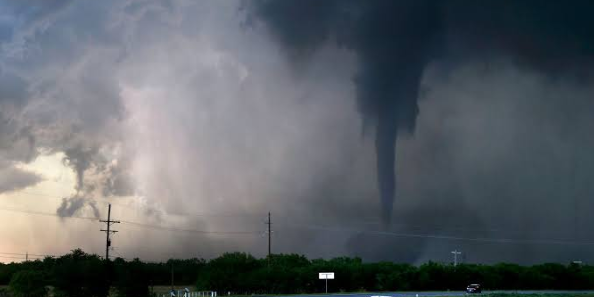
Billings, Montana — Drivers across south-central Montana are being urged to prepare for hazardous travel conditions Tuesday as powerful wind gusts sweep through the region, with the strongest impacts expected near the western foothills and along Interstate 90.
Forecasters say Tuesday will bring warm, windy weather ahead of a cold front set to move through Tuesday night. Wind gusts are expected to reach 45 to 50 mph in several communities, including Livingston, Harlowton, Big Timber, Lewistown and areas west of Billings, with the most intense winds arriving during the afternoon and evening hours.
Livingston faces the highest risk, with a 90 percent chance of gusts exceeding 50 mph. Harlowton follows closely with an 80 percent chance, while Big Timber carries a 70 percent probability of similarly strong winds. Billings itself will see breezy conditions, with gusts generally ranging from 40 to 45 mph.
Officials warn that travel along Interstate 90 and U.S. Highway 191 could become especially difficult, particularly for high-profile vehicles such as semitrucks, campers and lightweight trailers. Sudden crosswinds could catch drivers off guard, and those traveling through the affected corridors are advised to slow down, maintain a firm grip on the wheel, or consider delaying trips until conditions improve.
Residents are also being asked to take precautions at home by securing outdoor furniture, trash bins and other loose items that could be lifted or tossed by the powerful gusts.
The cold front arriving Tuesday night is expected to bring scattered showers along with a noticeable drop in temperatures, while breezy conditions linger into Wednesday. Although winds should gradually ease once the front passes, forecasters caution that travelers and outdoor workers should stay alert for shifting conditions through the middle of the week.
Weather officials noted that additional alerts could be issued if wind gusts intensify beyond current projections, urging residents to stay informed as the situation develops.