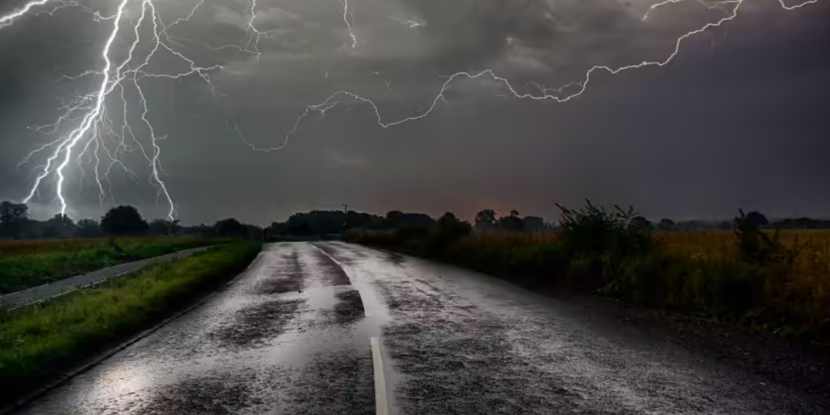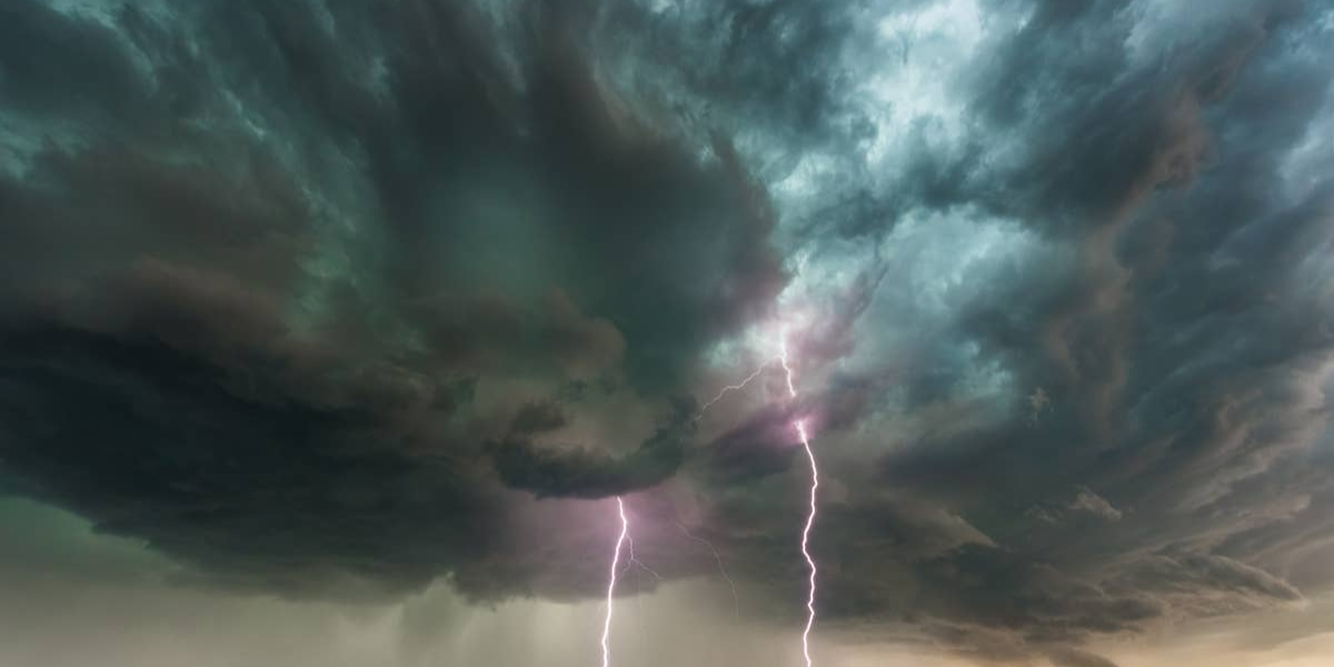
Dangerous thunderstorms are pushing through southern Colorado Sunday evening, bringing conditions that forecasters say could turn deadly within minutes for anyone caught outdoors.
Weather officials have issued a warning for south-central and southeastern Colorado through 8 p.m., citing the threat of wind gusts up to 50 mph, frequent cloud-to-ground lightning and bursts of heavy rainfall capable of dropping visibility to near zero in a matter of seconds.
What you need to know right now
- Wind gusts between 40 and 50 mph with the strongest storm cells
- Frequent cloud-to-ground lightning — the deadliest threat for anyone outside
- Heavy rain causing sudden visibility drops across the region
- Unsecured outdoor objects at risk of being blown away or becoming projectiles
Communities directly in the storm’s path include Pueblo, Canon City, Walsenburg, Trinidad, La Junta, Lamar and surrounding areas. Drivers on Interstate 25, U.S. Highway 50 and U.S. Highway 160 face an especially heightened risk — crosswinds and slick pavement from sudden downpours could make roads hazardous with very little warning.
Officials are urging anyone who hears thunder to get inside immediately and stay away from open fields, hilltops, water and tall trees. Lightning does not require a direct strike to be fatal — a ground strike nearby carries the same lethal risk. Campers, hikers and anyone at outdoor events or sports fields should not wait to see lightning before taking shelter.
Storm activity is expected to ease after 8 p.m., but meteorologists warn that isolated strong cells could develop before sunset, and additional watches or warnings may be issued if conditions deteriorate. Residents should keep a battery-powered weather radio, phone alerts or multiple notification methods active until the threat fully clears.
Do not assume the danger has passed between storm cells. Conditions across southern Colorado can change dramatically within minutes Sunday evening.