A dangerous round of severe thunderstorms is on track to slam the Kansas City metro area Wednesday afternoon and evening — and forecasters are warning residents to take the threat seriously before it arrives.
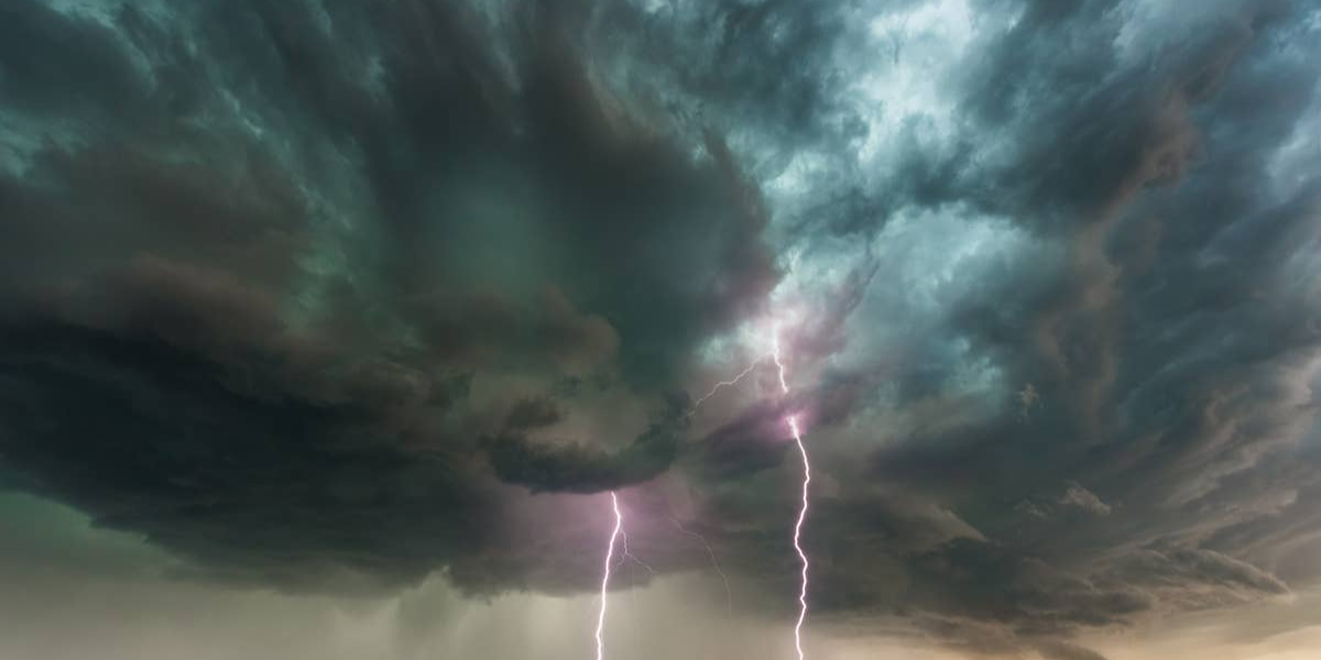
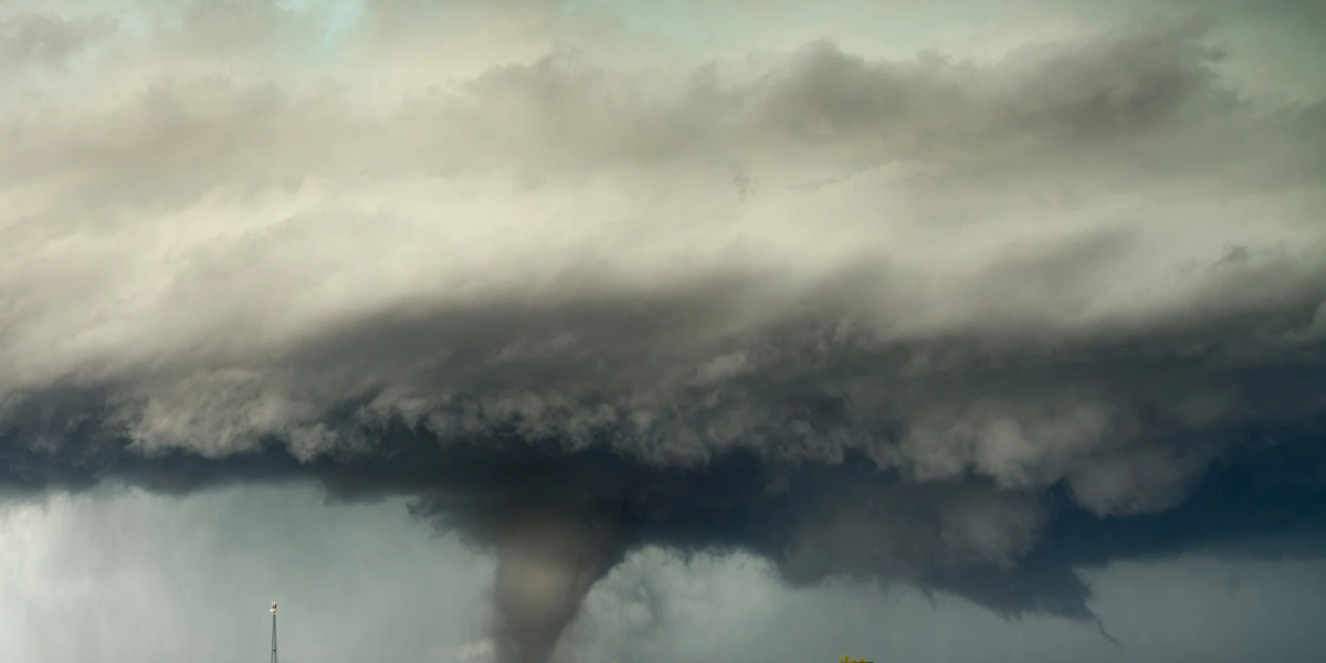
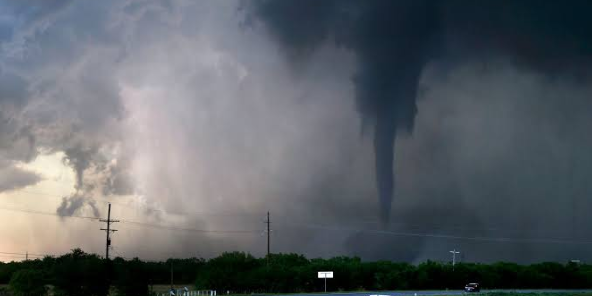
Meteorologists say the incoming storm system has the potential to produce large hail, destructive winds and isolated tornadoes. All major severe weather hazards are on the table as storms are expected to fire up Wednesday afternoon and push through into the evening hours.
Communities directly in the threat zone include Kansas City, St. Joseph, Sedalia, Chillicothe, Carrollton, Bethany, Moberly and surrounding areas across north-central and western Missouri. Rain and storm chances climb sharply Wednesday afternoon, with precipitation probabilities hitting 70% to 90% across much of the region.
Residents are urged not to wait. Review your household’s severe weather plan today — especially if outdoor events or activities are on the schedule for Wednesday evening. Make sure weather alerts are turned on for your mobile device and identify a safe, interior shelter location well before any warnings are issued.
A weaker round of showers may pass through overnight Tuesday into early Wednesday morning, but no severe weather is expected with that activity. The real concern begins mid-afternoon Wednesday.
The storm threat does not end after Wednesday. Additional rounds of showers and potentially severe thunderstorms are possible through the coming weekend. Forecasters expect to issue updated outlooks, watches and warnings over the next 24 to 48 hours as the storm system comes into sharper focus.
Do not be caught off guard. Wednesday’s window for severe weather may be narrow, but the hazards are real. Stay weather-aware and have a plan ready.