A major shift in global weather is officially here. The US National Oceanic and Atmospheric Administration (NOAA) has confirmed that El Niño conditions have begun in the tropical Pacific, after sea surface temperatures jumped sharply in recent months.
What’s grabbing attention is not just that it’s happening — but how powerful experts think it could become.
A “Super” El Niño on the Cards?
According to NOAA’s latest outlook, there’s a 63% chance of a very strong El Niño between November and January — one that could rank among the biggest since records began in 1950. For comparison, the only events of that scale happened in 1982-83, 1997-98, and 2015-16.
Some forecasting models from the US and Europe are even predicting tropical Pacific temperatures could climb more than 3°C above average by year-end.
Why This Time Could Be Different
Here’s the part that worries scientists most: this El Niño is forming on top of a planet that’s already much hotter than before.
“The actual temperatures in affected regions could well be unprecedented, as the warming from El Niño is being topped up by climate change,” explains a UK Met Office expert.
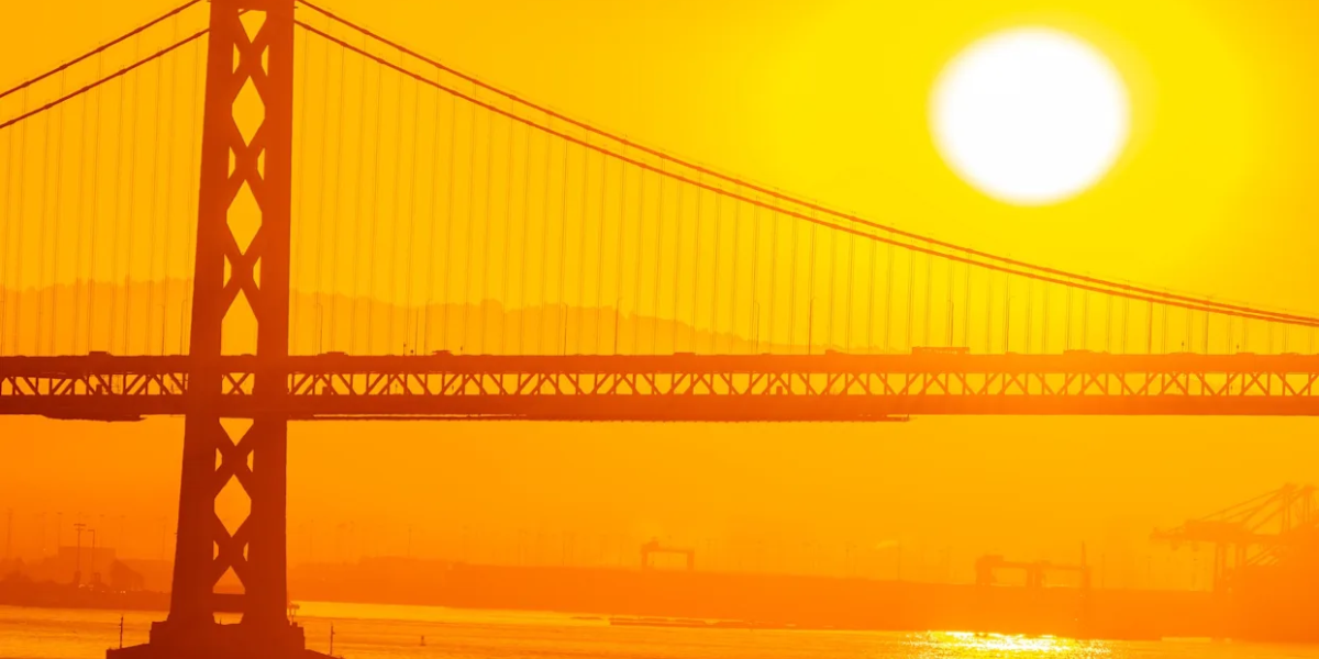
A strong El Niño typically pushes global air temperatures up by around 0.2°C. Combined with existing climate change, experts believe 2027 could become another record-breaking hot year — possibly pushing global warming above the critical 1.5°C mark again.
Who Gets Hit the Hardest?
The effects won’t be the same everywhere, but the pattern is fairly predictable:
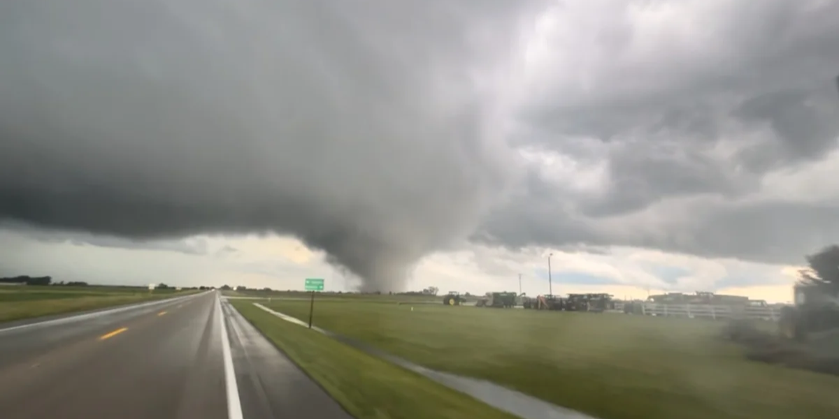
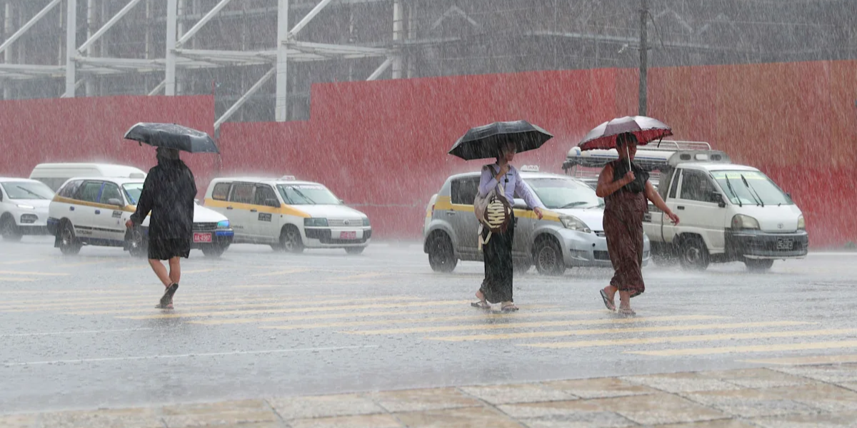
Flooding risk rises in northern Peru, southern Ecuador, parts of East Africa, Central Asia, and the southern US.
Drought and wildfire danger increases across Australia, Indonesia, and northern South America — putting global food supplies at risk.
Atlantic hurricane season is likely to be quieter — but that’s bad news for Central America, where it means less rainfall and a higher chance of drought.
Even the UK could feel a mild ripple effect, with a possible milder start and colder end to winter.
A “Deadly Siren” for Millions
For climate campaigners, this isn’t just a scientific milestone. “For millions of people it is a deadly siren to be feared,” warns a director at Power Shift Africa, pointing to the risk of failed rains, dying crops, and rising food prices — especially in East Africa, where communities are already struggling from previous droughts and floods.
The Catch: Not Everyone Agrees Yet
Interestingly, not all weather agencies are calling it official. Japan’s Meteorological Agency agrees with NOAA’s assessment and expects it to last into autumn. But Australia’s Bureau of Meteorology, which uses stricter criteria, says the Pacific is only “approaching El Niño conditions” for now — though it still expects a strong event to develop later this year.
Bottom Line: El Niño occurs naturally every 2-7 years, but scientists stress this one is landing on an already warming world — and that combination could make 2026-2027 a period of serious weather extremes worldwide.