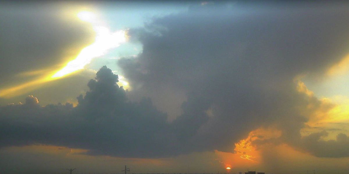
Shreveport, Louisiana – Residents and drivers across northwest Louisiana and the broader ArkLaTex region are being urged to stay alert as a dangerous flash flooding threat builds through tonight, with conditions capable of turning deadly with little warning.
The National Weather Service has issued a Slight Risk for excessive rainfall across much of the Four State Region — covering northwest Louisiana, northeast Texas, southwest Arkansas, and southeast Oklahoma. Forecasters warn that rainfall rates could reach 1 to 3 inches per hour during the heaviest storm cells, a pace that can overwhelm drainage systems and send water rushing into streets, homes, and low-lying areas faster than emergency crews can respond.
Communities along and north of the Interstate 20 corridor face the greatest exposure. Shreveport, Bossier City, Texarkana, Longview, Mount Pleasant, Hope, and El Dorado are among the areas where flooding risks are highest. Rain chances across Louisiana-Texas border communities range from 50% to 90%, with the heaviest coverage expected from Texarkana eastward toward Hope and portions of southwest Arkansas.
Urban streets, low-lying roads, creeks, and areas with poor drainage will be most vulnerable. Where thunderstorms repeatedly track over the same location, isolated rainfall totals could exceed 3 inches — enough to trigger dangerous and fast-moving floodwaters.
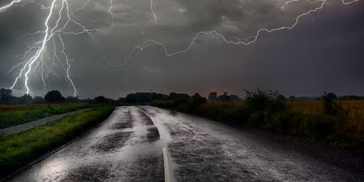
Officials are issuing a clear warning to motorists: do not attempt to drive through flooded roadways under any circumstances. Just 6 inches of moving water can knock a person off their feet. As little as 12 inches can carry away a small vehicle. Flooded roads may also conceal washed-out pavement, downed power lines, or collapsed shoulders that are invisible until it is too late.
Additional Flash Flood Warnings are expected to be issued as storms continue to develop across the region through tonight.
Residents should monitor local weather alerts closely, keep phones charged, and have multiple ways to receive emergency notifications.
Do not wait for a warning to act. By the time water reaches your street, evacuation may no longer be safe.